Crail
Location type
StationName and dates
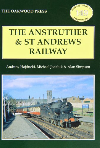
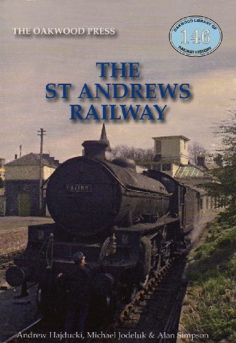
Crail (1883-1965)Opened on the Anstruther and St Andrews Railway.
Description
This two platform station was the principal station between St Andrews and Anstruther [2nd]. The building was of a larger design to the rest of the line. It was on the western edge of Crail. The building was on on the southbound - town side - platform.
There was a goods yard on the east side, approached from the north. A signal box was at the north end of the platform.
Initially there was no loop, the southbound platform being the original platform. The loop was installed in 1898.
The station closed and the line to the north closed in 1965 and the signal box was reduced to a ground frame. The line to the south being retained briefly for goods. In 1966 the line south closed.
Portions of platform and the main station building survive. Much of the station site became the East Neuk Water Garden Centre (since closed?)
Local
A mile and a half to the south west a former crossing keeper's house, at the former Thirdpart Level Crossing, now offers accommodation. Railway Crossing Cottage
Tags
StationExternal links
Canmore site recordNLS Collection OS map of 1892-1914
NLS Collection OS map of 1944-67
NLS Map
NLS Map
03/05/2019
 //1964")
 //1965")
 //1965")


| Nearby stations Kingsbarns Anstruther [2nd] Anstruther [1st] Boarhills Pittenweem Lochty Stravithie Knightsward St Monance Mount Melville Elie St Andrews [2nd] Kilconquhar St Andrews [1st] Guard Bridge | Anstruther Shed Dreel Viaduct Anstruther Junction Boarhills Viaduct Coal Farm Coal Pit St Monans Salt Pans St Monans Windmill St Monance Boatbuilding Work Tourist/other Kirkmay Level Crossing Crail Airfield Thirdpart Level Crossing Kingsbarns Distillery Pittenweem Harbour Kellie Castle and Garden Isle of May Lighthouse |
| Location names in dark blue are on the same original line. | |
Chronology Dates
| 05/10/1965 | Anstruther and St Andrews Railway St Andrews [2nd] to Crail closed to freight. |
| 18/06/1966 | Anstruther and St Andrews RailwayEast of Fife Railway Crail to Leven [2nd] (excluded) closed to freight. |