Maxton
Location type
StationName and dates
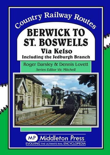
Maxton (1851-1964)Opened on the Kelso Branch (North British Railway).
Description
This was a two platform station on a double track line. There was a level crossing at the west end. The main station building was at the west end of the eastbound platform. The signal box, dating from 1915, was at the west end of the westbound platform. The village Maxton itself was just to the north, on the south bank of the River Tweed.
The goods yard, with a pair of sidings, loading bank and a crane, was to the north, approached from the east.
The line was singled between Kelso Junction and Roxburgh in 1933, the westbound line was lifted. The signal box had been reduced to a gate box the previous year.
A loop was installed in 1942. This was from west of the level crossing to well beyond the station to the east. The westbound platform was not re-installed.
The station closed to passengers in 1964. The box closed in 1965. The railway closed altogether in 1968.
The station platforms have gone, but station building remains standing by the level crossing. Level crossing gates remain.
Tags
StationExternal links
Canmore site recordNLS Collection OS map of 1892-1914
NLS Collection OS map of 1944-67


| Nearby stations Rutherford Charlesfield Halt St Boswells Belses Newstead [Melrose] Nisbet Jedfoot Roxburgh Melrose Kirkbank Jedburgh Earlston Tweedbank Wallace Nick Hassendean | Charlesfield Munitions Factory Greenend Siding Kelso Junction St Boswells Shed [2nd] St Boswells Shed [1st] Ale Water Viaduct Ravenswood Junction Leaderfoot Viaduct Nisbet Viaduct Tourist/other Mertoun House Dryburgh Abbey Wallace^s Statue Scott^s View Smailholm Tower Waterloo Monument |
| Location names in dark blue are on the same original line. | |
Chronology Dates
| / /1851 | Kelso Branch (North British Railway) Maxton and Rutherford opened. |
| 15/06/1964 | Kelso Branch (North British Railway) Kelso to St Boswells closed to passengers. Kelso, Roxburgh, Rutherford, Maxton closed. |