Ryton
Location type
StationName and dates
Ryton (1836-1954)Opened on the Newcastle and Carlisle Railway.
Description
This was a two platform station serving Ryton, just a little to the south. The station was on the south bank of the River Tyne. There were building on each platform, station house on the eastbound. There were no goods facilities.
The station closed in 1954 and nothing remains of the station today.
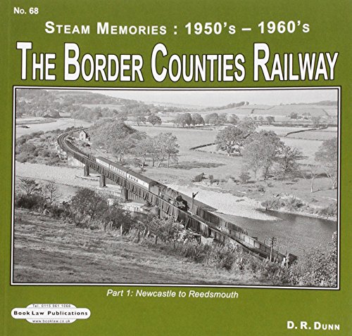
Ryton marks the end of the tidal section of the River Tyne. Below Ryton, going east, the water was deeper and there were staiths, which came to be served by early waggonways, at Lemington Staiths and Blaydon.
Tags
StationExternal links
NLS Collection OS map of 1892-1914NLS Collection OS map of 1944-67
NLS Map
NLS Map
NLS Map

| Nearby stations Newburn Heddon-on-the-Wall Lemington Blaydon Wylam North Wylam Scotswood Derwenthaugh Swalwell [2nd] Swalwell [1st] Darras Hall Metrocentre Callerton Parkway Bank Foot Callerton | Isabella Colliery Emma Colliery Newburn Steel Works Addison Colliery Heddon Colliery (King Pit) Stargate Colliery South Stella Powerstation Maria Colliery Clara Vale Colliery North Stella Powerstation Blucher Colliery Cowans Crossing ^Bessie^ Colliery Blaydon Burn ^Mary^ Colliery Tourist/other Stephenson^s Cottage |
| Location names in dark blue are on the same original line. | |