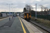
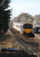
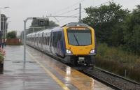
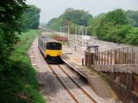
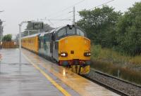
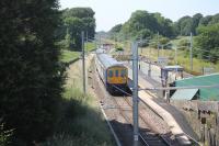
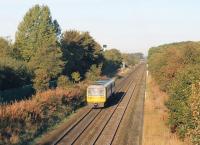
Salwick

Extract from the 1961 One-inch OS map showing Salwick station and the adjoining nuclear fuels plant. Salwick station closed briefly in 1938, along with nearby Lea Road, but when a wartime munitions factory was established Salwick re-opened and has continued to this day, albeit with a limited service. Conversion to nuclear fuel production came just after the war and, although no longer rail served, the plant is still engaged in this. It is not widely known that the Lancaster Canal runs west from Preston for five miles before eventually turning north at Salwick. This was to ensure that the only locks between Preston and Kendal were concentrated at Tewitfield, north of Canforth, the present limit of navigation. Added by Mark Bartlett. Reproduced with the permission of the National Library of Scotland http://maps.nls.uk/index.html
Location: Salwick
Original line: Preston and Wyre Railway, Dock and Harbour
Photographer: National Library of Scotland
Contact photographer: National Library of Scotland
Date: 1961
Image number: 73832
Other photographs of Salwick on RailScot
 |  |  |  |  |  |  |  |  |  |
