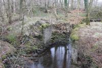
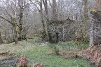
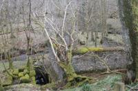
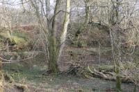
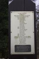
Kames Gunpowder Works

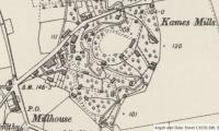
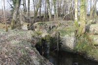
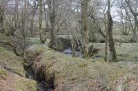
An extract from the 1895 6 inch OS map showing the High MIlls (or north) site of the Kames Gunpowder Works. It shows the tramway that served the north site buildings, the Craignafeoch Burn running along the east side of the site, the roadside offices and cottages and the level crossing leading to the Lower Mills. The High Mills area now appears to be privately owned and mostly fenced off. Added by Mark Bartlett. Reproduced with the permission of the National Library of Scotland http://maps.nls.uk/index.html
Location: Kames Gunpowder Works (former)
Original line: Kames Powder Works Company
Photographer: National Library of Scotland
Contact photographer: National Library of Scotland
Date: 1895
Image number: 63721
Other photographs of Kames Gunpowder Works on RailScot
 |  |  |  |  |  |  |  |  |  |
