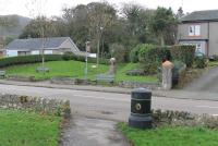
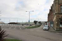
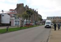
Campbeltown

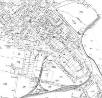
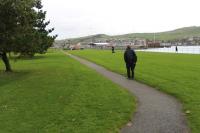
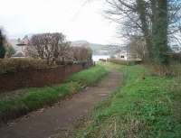
Campbeltown Loch, as seen from the bottom of the old railway cutting where the narrow gauge tracks emerged onto reclaimed land and turned left towards Hall St and the quayside, following the line of the footpath that can be seen here. New Quay, which also had railway tracks on it, can be seen in the left background. See image 33469 for a map showing the railway layout in 1921.
Location: Campbeltown (former)
Original line: Campbeltown and Machrihanish Light Railway
Photographer: Mark Bartlett
Contact photographer: Mark Bartlett
Date: 26/03/2011
Image number: 33476
Other photographs of Campbeltown on RailScot
 |  |  |  |  |  |  |  |  |  |
