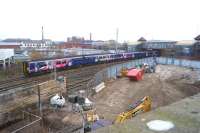
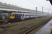
Bolton
OS 6' map extract from 1908 showing the railways around Bolton at that time. The L&YR Trinity Street station dominates the upper part of the map with the tracks diverging to Lostock Junction and Blackburn. However, to its left is the less well known LNWR station at Great Moor Street. This closed to regular passenger services in 1954 and the adjacent goods depot succumbed ten years later. The station was demolished in 1966. Coming south from Trinity St the triangular junction with the Bury and Rochdale line (closed 1970) can be seen and then, at the bottom of the map, Bolton MPD 40456, which lasted almost until the end of steam closing just a few weeks before Rose Grove, Carnforth and Lostock Hall. Added by Mark Bartlett. Reproduced with the permission of the National Library of Scotland http://maps.nls.uk/index.html
Location: Bolton
Company: Manchester, Bolton and Bury Railway
Photographer: National Library of Scotland
Contact photographer: National Library of Scotland
Date: 1908
Image number: 73291
Other photographs of Bolton on RailScot
 |  |  |  |  |  |  |  |  |  |
