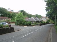
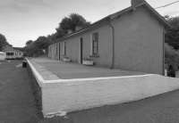
Portpatrick

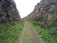
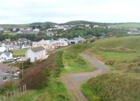
The Portpatrick branch rose steeply onto the headland from the terminus before looping round and continuing the climb over the moors to Stranraer Town. For anyone in Portpatrick with half an hour to spare the walk through the rocky cutting on the headland and then back along the cliff top path seen here is highly recommended. View towards Portpatrick at Map Ref NX 003535. See image 33026 for an OS map of the branch prior to closure in 1950.
Location: Portpatrick (former)
Original line: Portpatrick Railway
Photographer: Mark Bartlett
Contact photographer: Mark Bartlett
Date: 27/05/2011
Image number: 34253
Other photographs of Portpatrick on RailScot
 |  |  |  |  |
