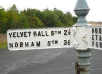
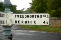
Northumberland

A map of Northumberland from around 1910-1920 which shows the rail network existing at that time. From Highways and Byways in Northumbria by Peter Anderson Graham.
Location: Northumberland
Original line: London and North Eastern Railway
Photographer: Alistair MacKenzie
Contact photographer: Alistair MacKenzie
Photosets: Maps - mainly of stations
Date: 12/09/2009
Image number: 25389
Tags: MapOther photographs of Northumberland on RailScot
 |  |
