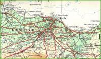
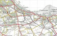
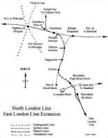
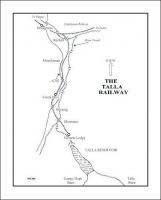
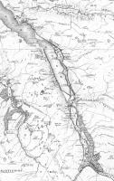
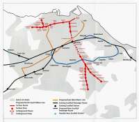
Map

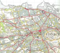
The Clyde meanders through south-east Glasgow in this OS 1:25,000
Provisional Edition map of 1947. The two Bridgeton stations almost
face each other at the top left and Rutherglen East Junction can be seen bottom right, below Clydebridge Steel Works. The castle north-east of the then expansive Rutherglen station was Farme Castle, unforgivably demolished in the 1960s. Crown Copyright 1947.
Location: Map
Original line: Maps
Photographer: David Panton
Contact photographer: David Panton
Image number: 32632
Tags: MapOther photographs of Map on RailScot
 |  |  |  |  |  |  |  |  |  |
