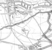
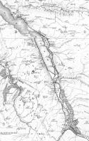
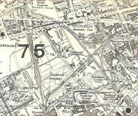
Map

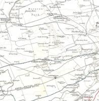
Extract from the OS One Inch map covering the Edinburgh area in 1957. Packed with vanished lines and stations. The white circles indicate stations which had closed. It was presumably easier to remove the red from a blob when a station closed than remove all traces of it. However some of these stations had closed before the plates for this series were drawn. Did they think they might reopen? Crown Copyright 1957.
Location: Map
Original line: Maps
Photographer: David Panton
Contact photographer: David Panton
Date: 1957
Image number: 31942
Tags: MapOther photographs of Map on RailScot
 |  |  |  |  |  |  |  |  |  |
